
Company Name :
GeoSAS
Founder :
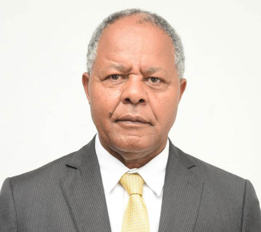
Dr. Menghestab Haile
Headquarters :
Addis Ababa, Ethiopia
Email :
Website :
Our Leadership
Dr. Haile, the founder and CEO of GeoSAS, is a distinguished leader with over thirty years of impactful experience in development and humanitarian work across Africa. Holding a PhD in Meteorology, Dr. Haile’s career is marked by a deep commitment to tackling food insecurity, driving rural development, and fostering sustainable economic growth. Before founding GeoSAS, Dr. Haile held several senior roles at the United Nations World Food Programme (WFP), including Regional Director for Southern Africa and WFP Country Director in Egypt. In these positions, he developed robust partnerships with governments, engaged with Heads of State, Government Ministers, and key development partners, and collaborated closely with the private sector and financial institutions. His efforts significantly transformed rural communities through the establishment of public-private partnerships and innovative development projects.

Welcome To GeoSAS
GeoSAS, founded in 2007 by Dr. Menghestab Haile, is a pioneering organization dedicated to addressing food insecurity, resilience to climate change, and driving rural transformation across Africa. Headquartered in Addis Ababa, Ethiopia, the company was established to leverage international and Public-Private Partnerships (PPPs) to create impactful and sustainable solutions.
GeoSAS aspires to be a leading global private firm for providing a state-of-the-art service in research, business & sustainable development Our Goal Using Geo-Information & Information Technology to the fullest to bring development!
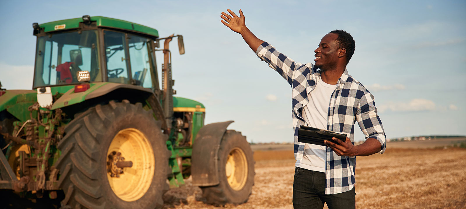
GeoSAS provides custom tailored services in research & application on Climate change, Agriculture & Rural Development, Public Health Care, Disaster Risk Management and Food Security for making effective and efficient decision in solving environment & economic challenges.
GeoSAS offers multi-displinary services, best-of-bread solutions, and full range of products to its clients. The following are some of the services that we provide:-
- Geographic Information System, Remote Sensing & Information Technology
- Health & Nutrition
- Agriculture & Rural Development
- Ecosystem & Climate Change
- Disaster Risk Management & Food Security
- Training & Capacity Building
Our Services
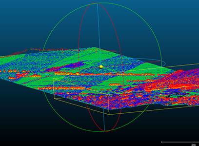
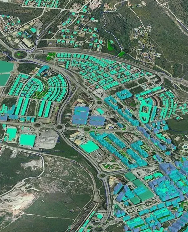
GIS, Remote Sensing (RS) & Information Technology
GeoSAS utilizes state-of-the-art GIS and RS technologies to solve spatial problems. It also provides geo-data processing, cadastral mapping, standardization services and technical support for researchers applying GIS and RS technologies.
View More
Environment and Climate Change
GeoSAS has developed extensive experience in conducting research and studies in the fields of environment and climate change. The company has expertise in the monitoring and assessment of climate change related challenges, and the designing...
View More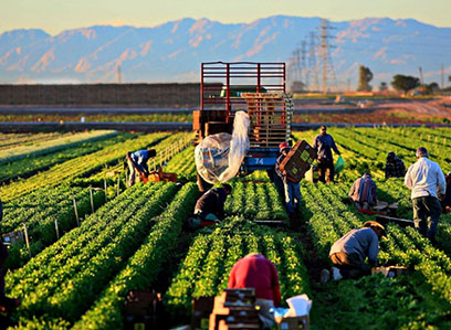
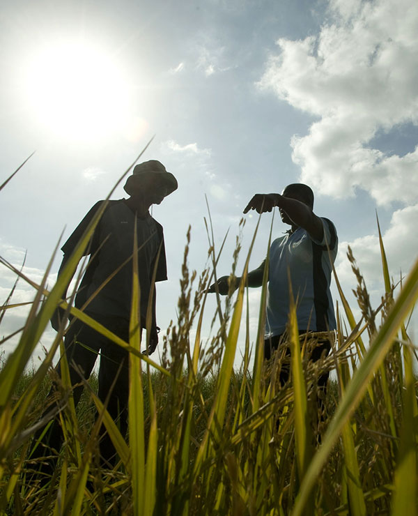
Agriculture and Rural Development
The improvement of agricultural sector performance and rural transformation are critical components to ensure food security and economic development as a whole. GeoSAS provides services in sustainable agriculture, natural resource management...
View More
Health and Nutrition
Poor health and malnutrition are major challenges for socio-economic development. Understanding their underlying causes is essential to crafting and implementing sustainable programs to combat these challenges. GeoSAS provides services...
View More
Disaster Risk Management and Food Security
GeoSAS senior experts were involved in the historical Ethiopian hazard mapping and baseline livelihoods profile development. Working alongside the former Disaster Prevention and Preparedness Agency (DPPA), currently called Disaster...
View More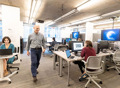
GIS Lab/Production Center
Using the enhanced capacity of its GIS Lab and Production center � equipped with 3D and 2D workstations with the latest software - GeoSAS provides a dedicated state-of-the-art photogrammetric and cartography services. The Lab has a proven...
View MoreOur Projects
| No. | Project name, Completion Year | Name of Client and country | Type of services provided |
|---|---|---|---|
| 1. | Stimulating Innovation for Global Monitoring of Agriculture and its Impact on the Environment in support of GEOGLAM (SIGMA), 2016 | Vlaamse Instelling voor Technologisch Onderzoek (VITO), Belgium | This is an on-going project focused on compilation of information on the status of agriculture, land cover which in the selected sites for data gathering will be used as an input for the development of global cropland mapping and land cover change detection. |
| 2. | Assignment Name: A Framework for Enhancing Earth Observation Capacity for Agriculture and Forest Management in Africa as a Contribution to GEOSS (AGRICAB), 2015 | Vlaamse Instelling voor Technologisch Onderzoek (VITO), Belgium | This project will close in March 2015. GeoSAS role in the project was to popularize and promote AGRICAB an high level including AU-NEPAD, and National policy makers, through preparation of policy briefs, outreach brochures as well as organizing awareness raising meetings. |
| 3. | African Gender and Climate Smart Agriculture Support Programme: Pre implementation Phase, 2015 | AU- NEPAD Planning and Coordinating Agency, Midrand, South Africa | This is an ongoing project for implementation in five participating countries namely, Cameroon, Ethiopia, Malawi, Niger, and Rwanda and RECs aimed at resource mobilization and operationalization of GCCASP platforms as a pre implementation undertaking. |
| 4. | Training on Land and Land Related Fields, Ethiopia, 2014/15 | Ministry of Urban Development and Construction, Ethiopia | Provide training for a total target of 4,800 trainees on Land and Land Related fields. The project is ongoing since July 2014. GeoSAS has involved in the provision of training for 2600 trainees in the four operational centers during the first round training. |
| 5. | Final Evaluation of “Enhancing | A joint project of Dan | GeoSAS will deliver the evaluation report for which it |
Connect With GeoSAS
GeoSAS welcomes your comments, questions, and suggestions. To contact one of our team members, please fill out the form below (all fields are required) and send it.
Connect NowEvents
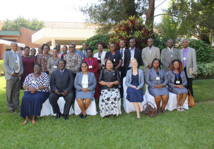
Partners' Round Table Meeting in Malawi
Client or Partner: NEPAD Planning & Coordinating Agency
The Gender Climate Change Agriculture Support Program GCCASP is a continental initiative designed by NEPAD Agency within the context of the CAADP result framework, and national and regional CAADP investment plans as well as the AU Environment Action Plan. The goal of the GCCASP is to achieve an effective and equitable participation of African women...
Read More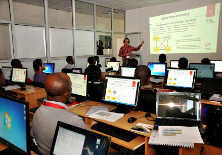
Partners' Round Table Meeting in Cameroon
Client or Partner: NEPAD Planning & Coordinating Agency
African Resource Group-Cameroon and the Ministry of Women’s Empowerment and the Family of the Republic of Cameroon are organizing a Partners’ Roundtable Meeting and Launch of the National Platform Workshop on the 13th and 14th of April 2015 at the Hotel des Deputés, Yaoundé. This workshop is part of the pre-implementation phase of the Cameroonian Gender,
Read More